Mishmar Ayy Highway Strip H
Informazioni sull'aeroporto - Mishmar Ayy Highway Strip H, Israele
|
Città vicino a Mishmar Ayy Highway Strip H, Israele
| Città, paese | Distanza (km) |
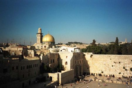
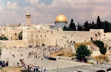
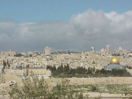
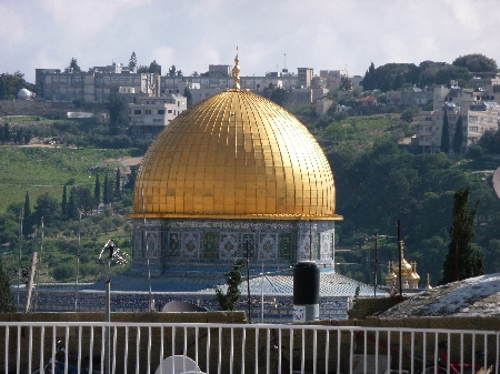
| Gerusalemme | 26.2 km |
| Ashkelon | 42.96 km |
| Amman | 94.2 km |